
Project Gigabit
First Rate Surveys provided both fibre surveying and network planning across Project Gigabit, taking areas from the initial field survey through to completed planning within Orion.
Our surveying included existing poles, underground chambers and proposed network routes, capturing the infrastructure information required to develop an accurate network plan. This included assessing existing infrastructure, recording route conditions, identifying suitable locations for fibre equipment and determining the most practical route through each area.
Following the field survey, the information collected on site was used to plan the network within Orion, creating clear and buildable routes for the delivery teams.
A key part of Project Gigabit was identifying practical network solutions for rural properties that had previously been difficult or commercially challenging to reach due to the cost and complexity of providing fibre infrastructure. As a government-funded programme focused on extending gigabit-capable connectivity into harder-to-reach areas, each survey required careful consideration of how individual properties could be served.
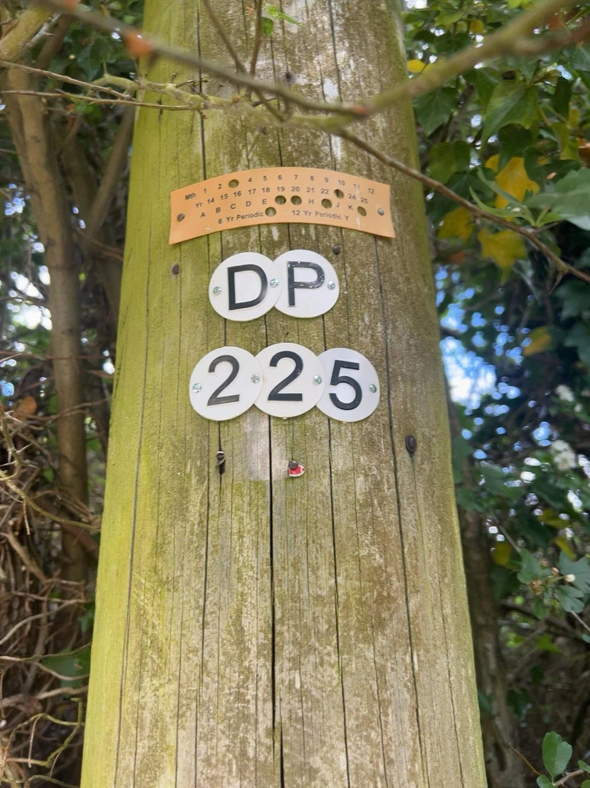
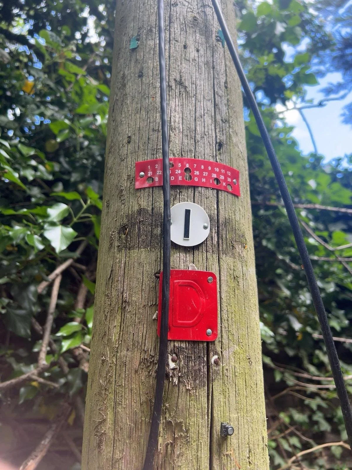
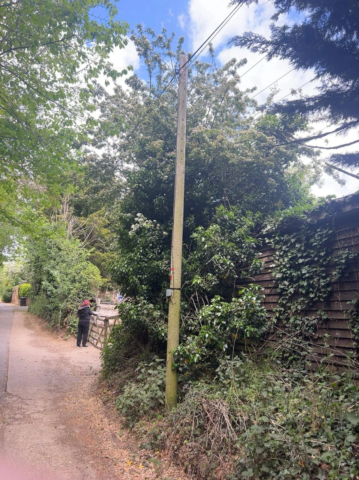
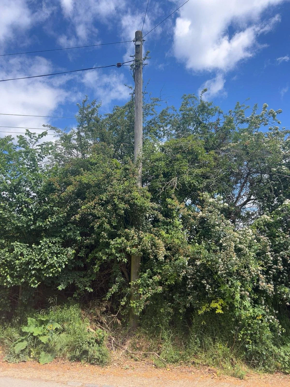
Our role was to assess the existing infrastructure and surrounding network, identify viable duct or overhead routes and determine the most practical way of providing a connection to each property. Where straightforward existing routes were not available, alternative solutions had to be considered to create a safe, practical and buildable network plan while minimising unnecessary civils works and cost.
Throughout the programme, we maintained communication with the relevant teams, providing progress updates and resolving survey or planning issues as they arose to help keep each area moving towards build.
Project Challenges
One of the key challenges on Project Gigabit was finding practical and compliant ways to serve rural properties that had previously been considered too costly to include within other network builds. As a government-funded programme focused on improving connectivity to hard-to-reach premises, many of the areas required significantly more infrastructure than a typical fibre build.
Due to the rural nature of the network, routes often required new poles, additional civils and the use of existing infrastructure across private land. Each route therefore had to be carefully surveyed and planned within the required specifications and regulations, while also looking for opportunities to reduce unnecessary civils and keep the proposed solution as efficient and buildable as possible.
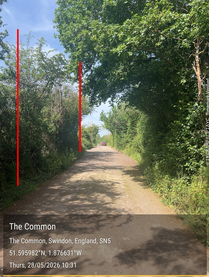
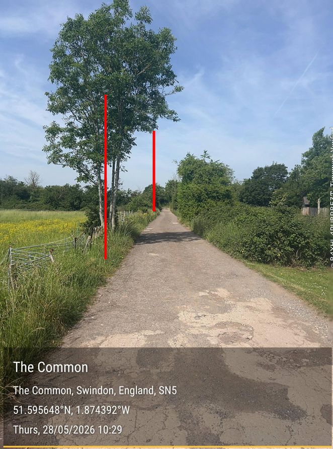
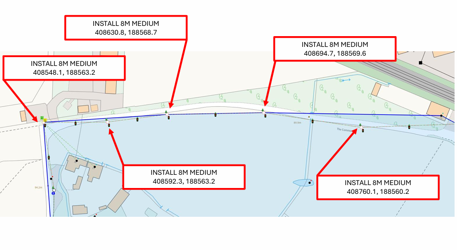
A major part of the challenge was access and permissions. Proposed BT/Openreach infrastructure frequently needed to cross or be positioned on private property, meaning engagement with landowners and customers formed an important part of the surveying process. PTWs, PTDs, wayleaves and other permissions had to be identified and obtained where required to allow routes to progress.
The overall objective was to determine how each previously unserved property could realistically be connected, balancing cost, regulations, permissions and buildability while developing a network solution capable of reaching as many rural premises as possible.
Project Summary
CLIENT
Circet / Openreach
LOCATIONS
Swindon: Blunsdon, Kington Langley, Braden stoke, Box, Minety, Purton, Chieveley, Cricklade
Stanstead: Stanstead Abbots
Bristol: Avonmouth, Filton
PERIOD
2026
PROJECT SCALE
1,631 Homes Surveyed
11 Areas
Lets Work Together
Planning Your Next Project?
Need reliable, professional surveying support for your next project? Get in touch to discuss your requirements and find out how First-Rate Surveys can support your delivery.